Sherman Drive - Heath, MA
Landlocked parcel offered as-is for tax-assessed value. All serious offers will be considered.
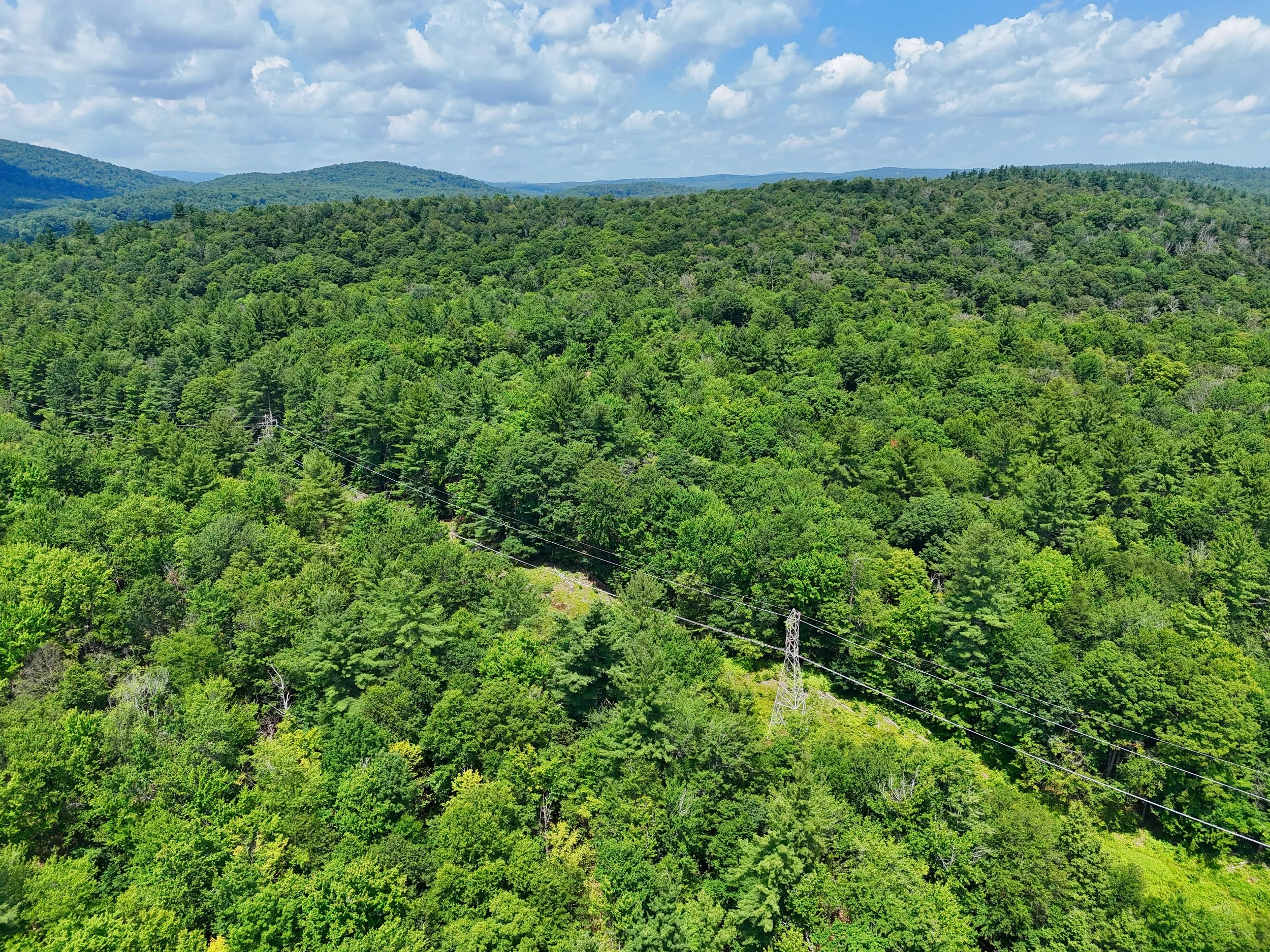
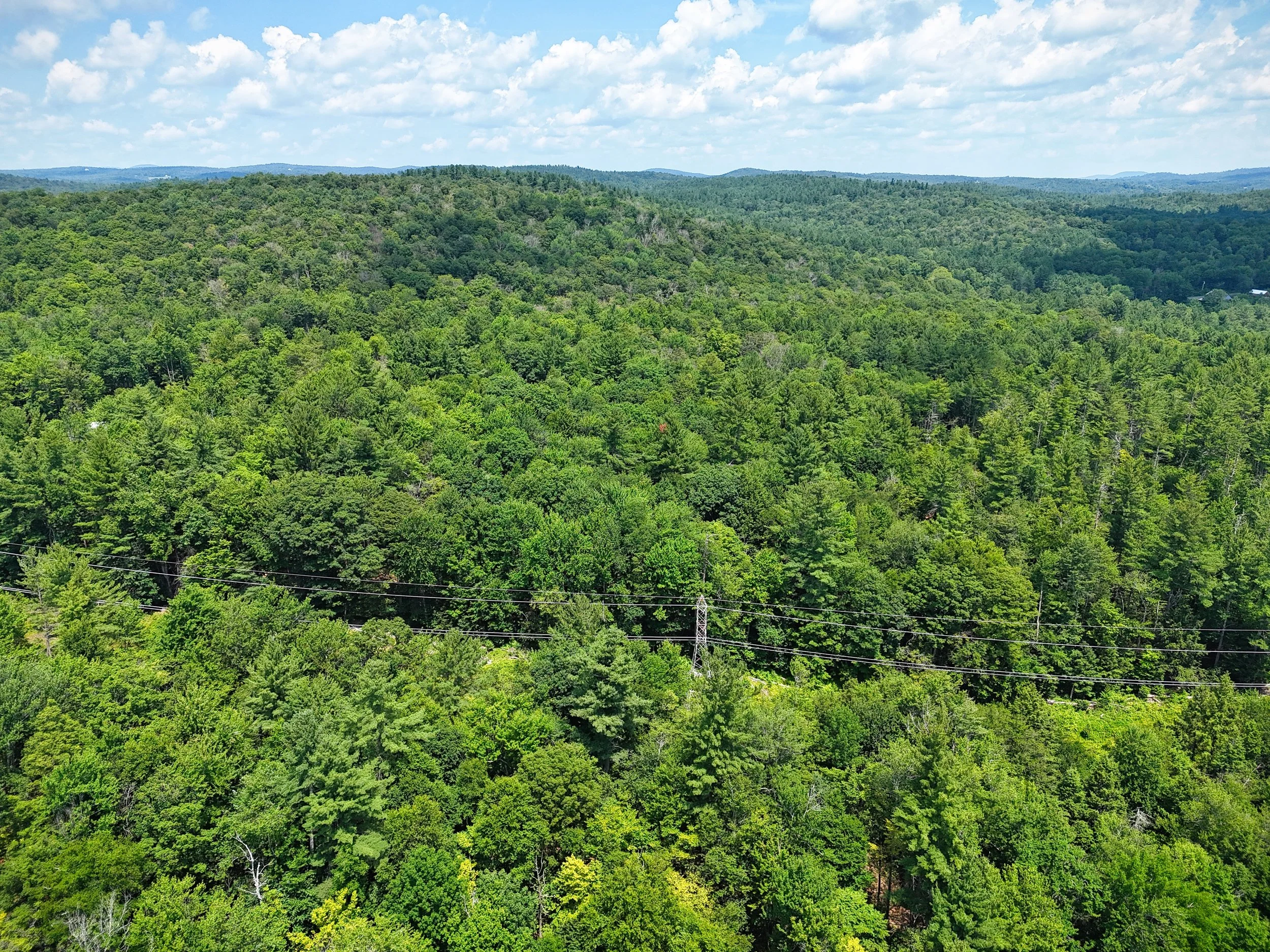
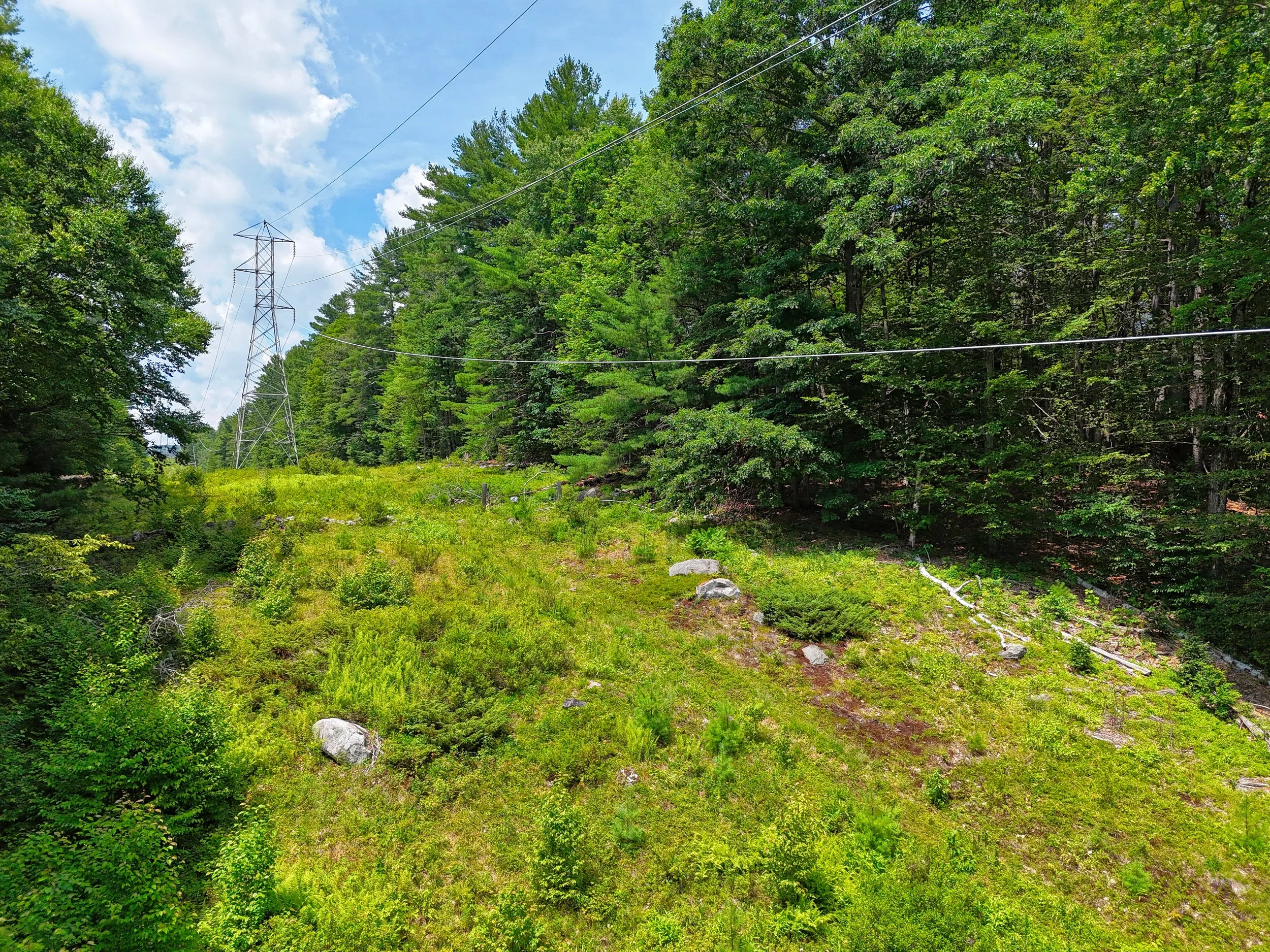
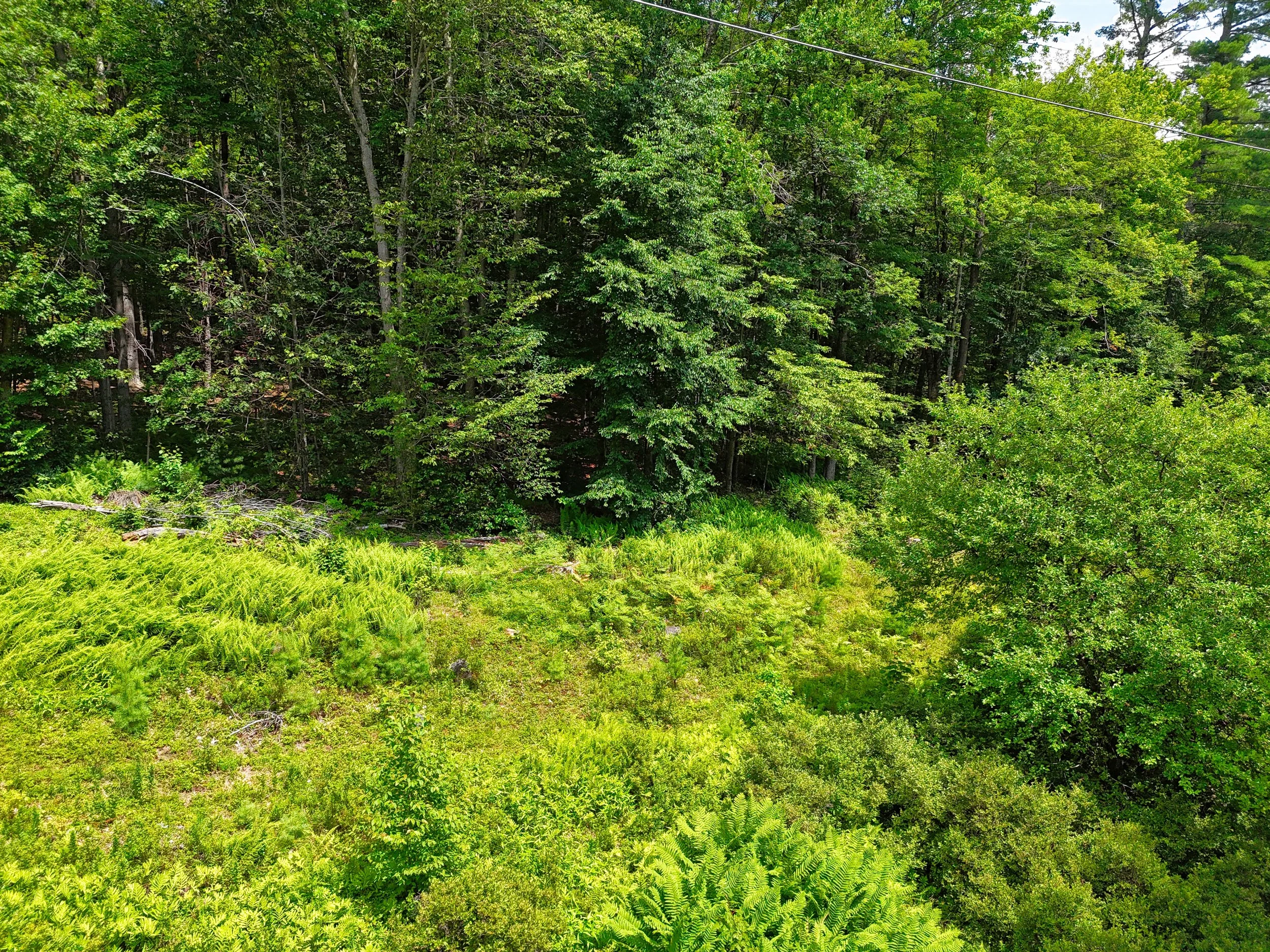
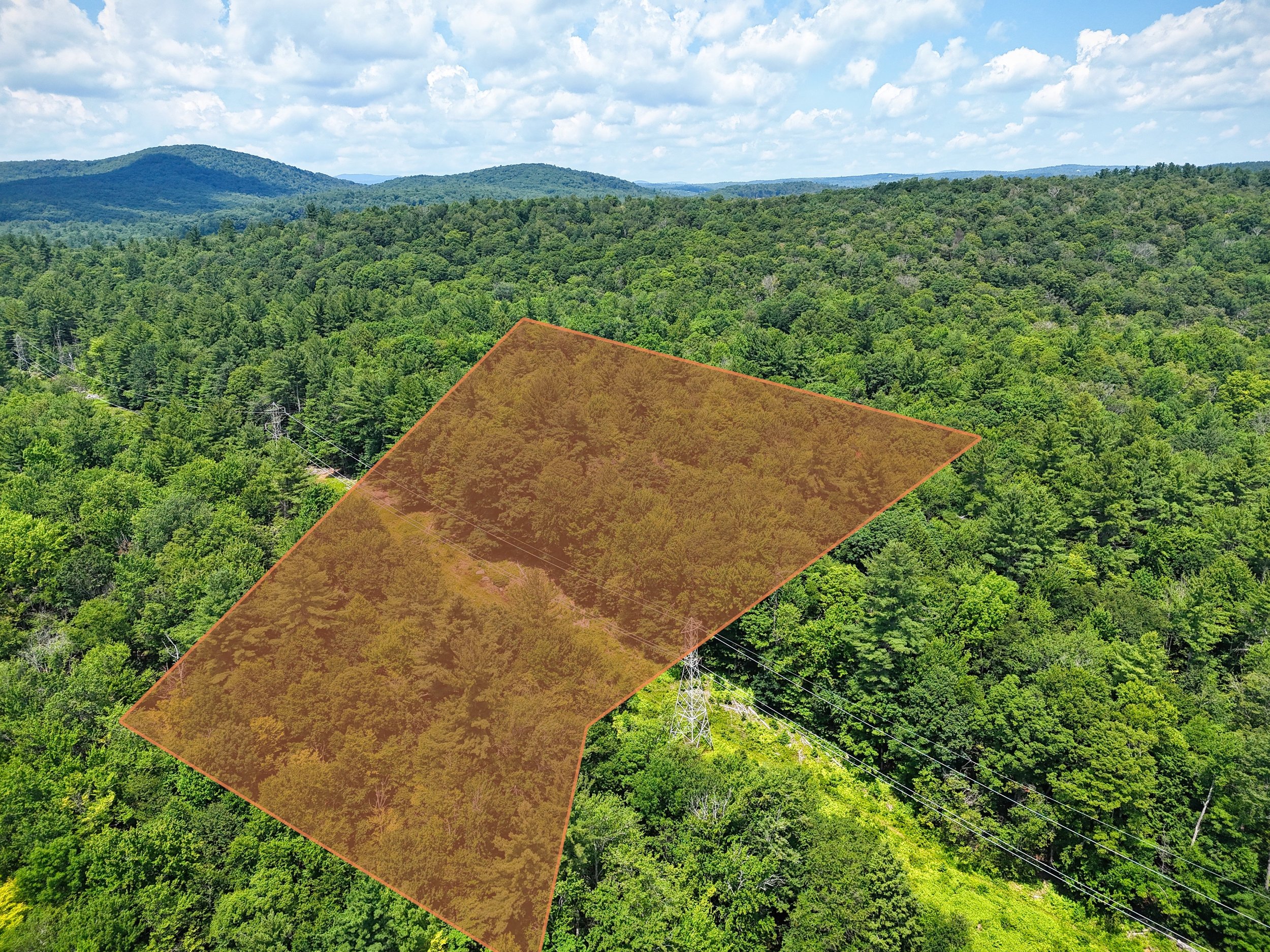
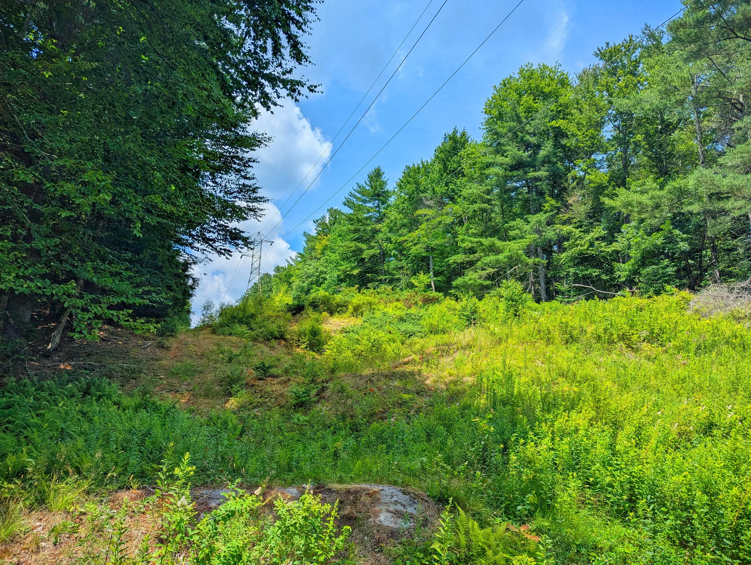
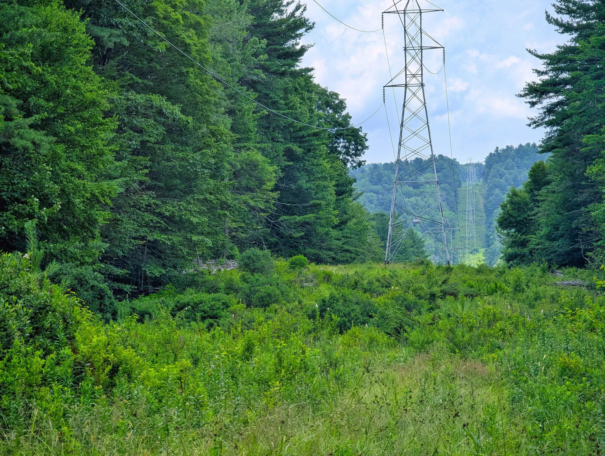
The property is nearly 8 acres, bisected east to west by a 100-foot cleared easement for the New England Power Company's power lines. Other than that the property is all wooded and about 75% flat, with some sloped areas on the west and south sides.
Sherman Drive itself is private and trespassing is not allowed. It is not possible to view this property on foot without passing through privately owned land.
Asking Price: $15,000 or best offer
Size: 7.9 acres
Address: Sherman Drive
Town: Heath, MA 01346
Parcel ID: Map 224 Lot 7
Property Tax (2025): $282.15
Coordinates: 42.67877, -72.84981
Google Maps Link: https://maps.app.goo.gl/jGZK5szixXaGAUun9
Perc Test: Untested
Water Supply: None
Survey: Not available
RV Potential: No RV occupancy or storage due to lack of access. If access was secured, temporary RV occupancy is allowed with a permit from town hall.
(For the easiest way to find RV land, try HomeBaseHerald.com)
Zoning Ordinance (R1 District): https://townofheath.org/files/Zoning_Bylaws_V3-2.pdf
Access: No known legal access
Association Dues: Not applicable
Terrain: All wooded except for a 100-foot clearing running east and west to accommodate the New England Power Company's power lines. Some sloped areas on the west side.
Disclosure: Listing presented by contract-holder of the parcel described. Said contract is advertised herein.